New Amsterdam — 1660 Overview
Imported from TimeWalkOrg/Manhattan wiki
Periods: Manhattan 1664
General References on 1660
- Excellent resources (tax lots, owners, etc.) at the New Amsterdam History Center
- podcast history: https://www.boweryboyshistory.com/2018/09/life-in-new-amsterdam-how-the-dutch-built-the-foundations-of-new-york-city-history.html
- A short film on the 1664 British takeover of New Amsterdam (Broadside - making of, IMDB listing)
- New Amsterdam manuscript translations at NYC Department of Records
1660 Terrain
The terrain on which New Amsterdam was built. We will place 3D models of New Amsterdam buildings on a UE5 model of this terrain.
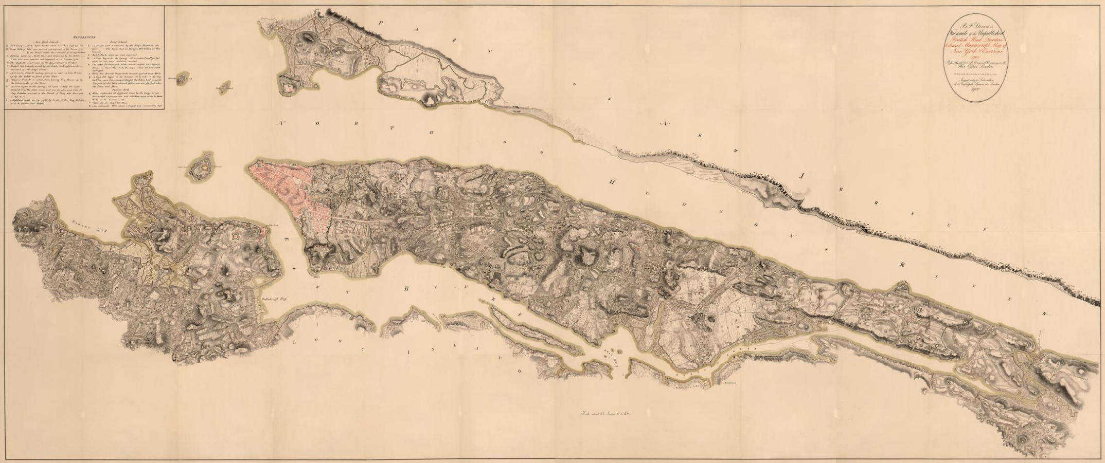
It is best described in the British Headquarters Map of 1782
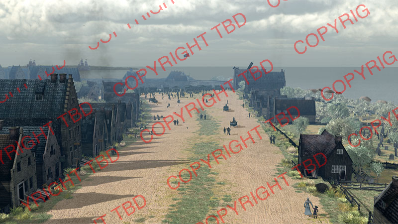
1660 Street Scenes
Check the following sources
- https://github.com/TimeWalkOrg/Manhattan-buildings/issues/5
- Pigs were everywhere!
- https://github.com/TimeWalkOrg/Manhattan-buildings/wiki/1660-New-Amsterdam-Street-Scenes
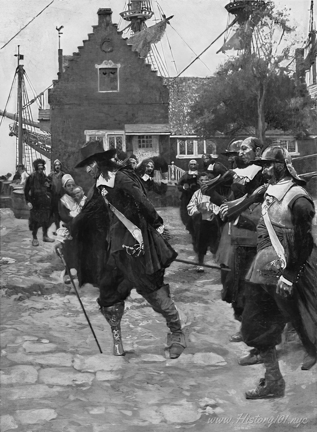
Stuyvesant:

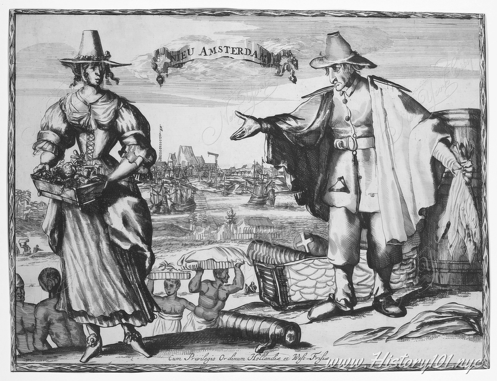
1624 engraving:
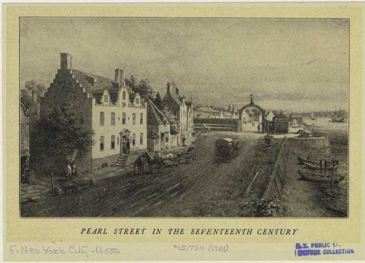
Pearl Street
- Need to confirm whether Pearl Street is along the shoreline (where I have “Water” street now), or is in fact the shoreline street. Seems likely that Water Street did not exist in 1660 per the drawing below and this Wikipedia entry: “A cow path at first,[3] it was laid out in 1633. It lay along a beachy area known as the Strand. Its name is an English translation of the Dutch Parelstraat (written as Paerlstraet around 1660). The street is visible on the Castello Plan along the eastern shore of New Amsterdam, together with Schreyers Hook Dock (cf. Amsterdam’s Schreierstoren) built by Broad Canal as the city’s first wharf in 1648.[4] It was named for the many oysters found in the river.”
1660 Street Lighting
- Based on sources of the history of street lighting, it is highly unlikely that there were lamp posts or formal streetlights of any kind in 1660 New Amsterdam. Street lighting was just becoming “common” in major European cities. The most likely form of lighting at night was lanterns/candles placed in street-facing windows or hung outside the door of buildings, if there was any form of lighting at all at night.
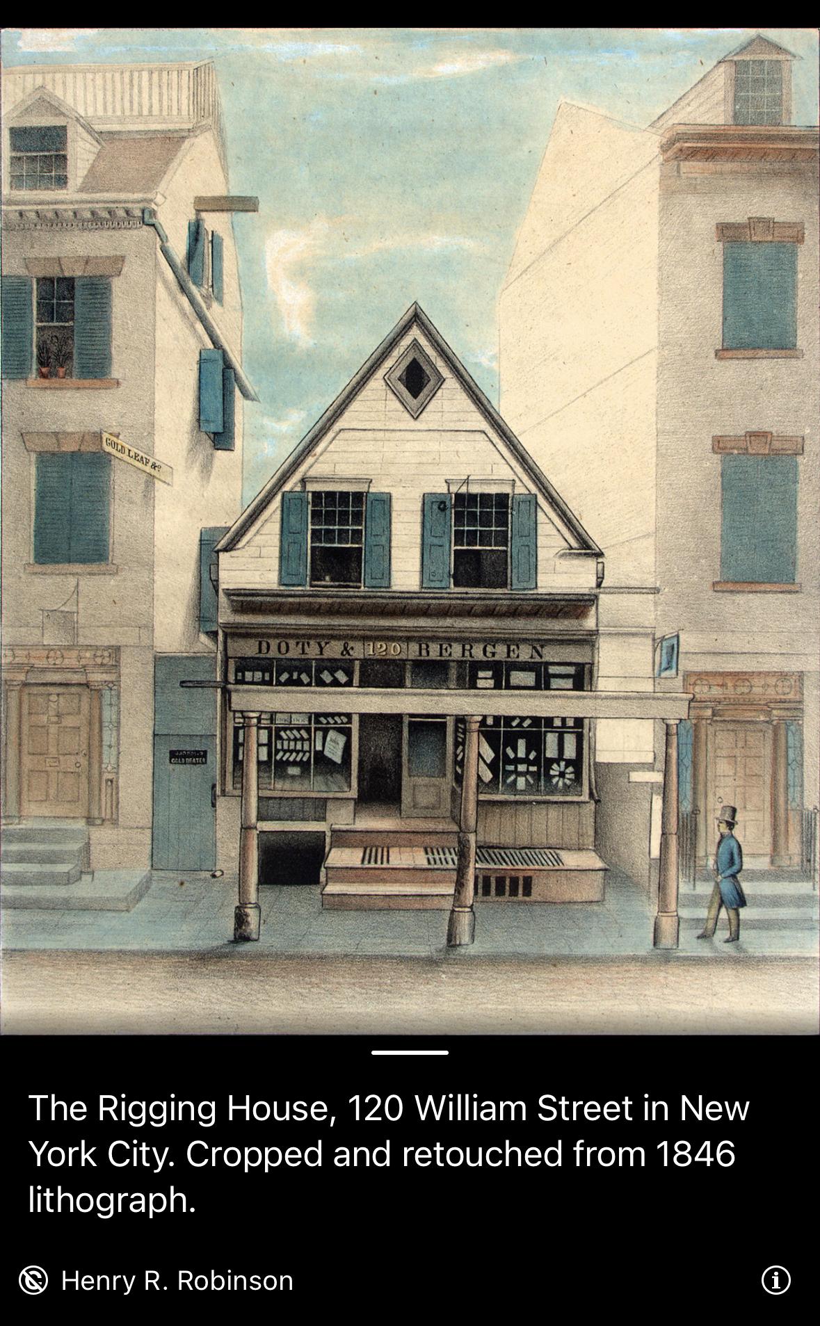
1660 Buildings
- Spreadsheet of buildings and population here on Google Sheets
- Useful book: The Iconography of Manhattan Island (1498-1909)
- Plenty of brick houses!
- Stadt House on Pearl Street
Maps
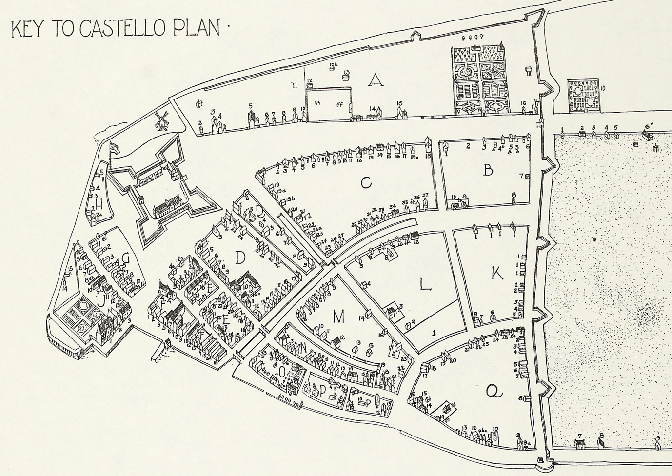
- Castello Plan (1660) - redrawn in 1916 by John Wolcott Adams and Isaac Newton Phelps Stokes
- Stokes Key to Castello Plan (1660)