TimeWalk Project Overview
Imported from TimeWalkOrg/Manhattan wiki
Overview
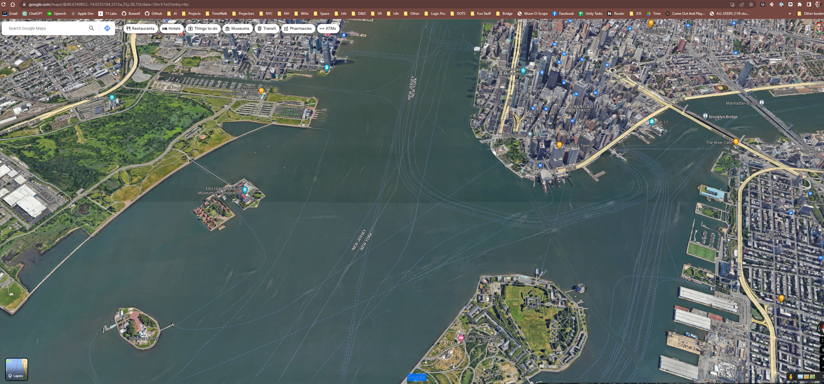
TimeWalk.org is an open-source project recreating Manhattan across key historical periods—including 1609, 1660, 1776, and earlier Ice Age landscapes. Built in Unreal Engine 5, it lets users “walk through time” by exploring New York City as it was centuries ago. The project combines archival maps, historical documents, and AI tools to place buildings, terrain, and people with as much accuracy as evidence allows. It runs on desktop and web today, with future support planned for mobile, VR, and AR—enabling everything from immersive classrooms to outdoor augmented reality overlays of past cityscapes on today’s streets. Like Wikipedia, TimeWalk evolves through community contributions, with historians, artists, and technologists refining the environment over time. The “Manhattan” project is a template for future TimeWalk city recreations.
Key Details
-
Time periods depicted:
- 12000 BC (post-glacial landscape)
- 1609 (Mannahatta, first European contact)
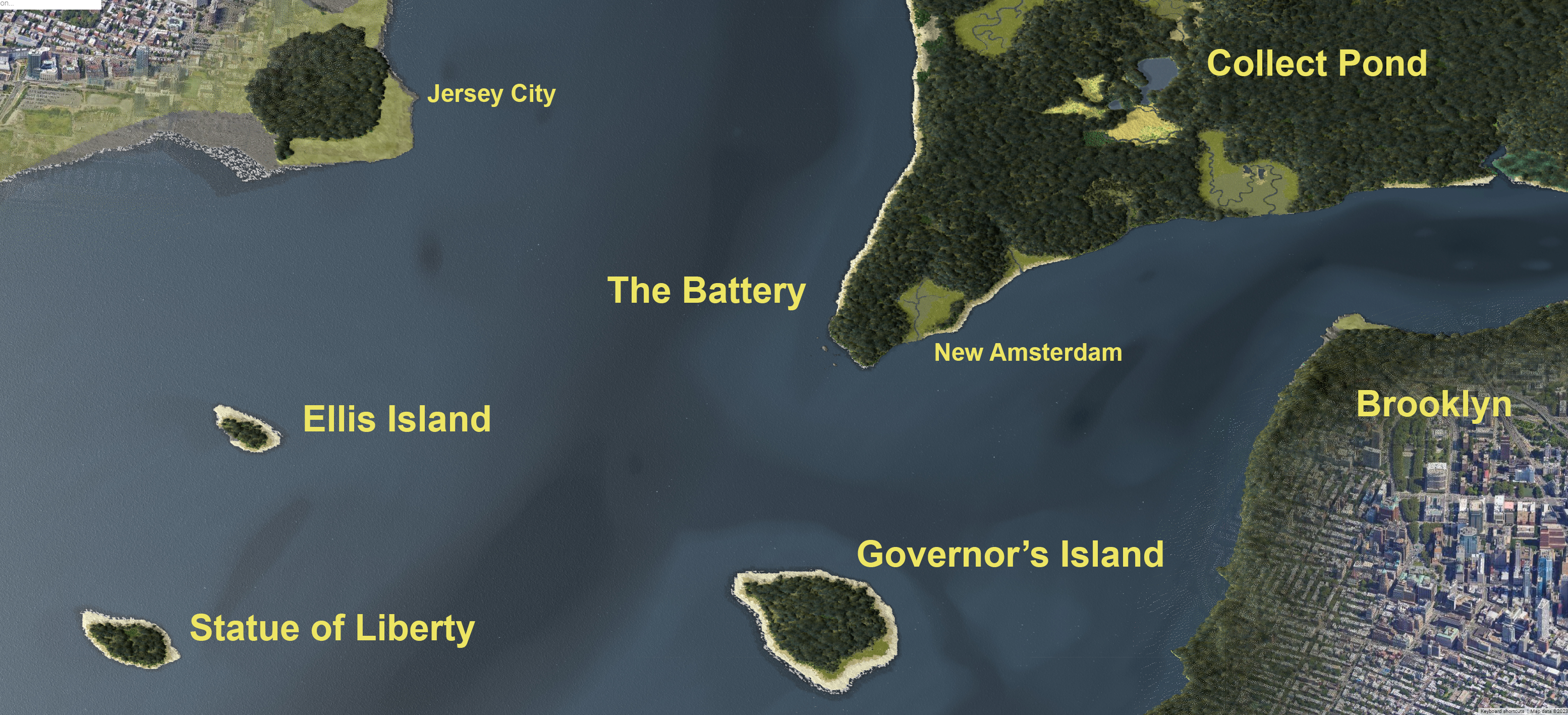
- 1664 (New Amsterdam at British takeover)
- 1776 (American Revolution, Washington’s retreat)
- 1882 (Gilded Age - design phase)
-
Geospatial accuracy:
- TimeWalk uses open-source QGIS shapefiles and map layers (see the QGIS repo) to align historic maps with modern geospatial data. These files provide precise coordinates for terrain, coastlines, rivers, and roads.
- Historic maps (e.g., the 1660 Castello Plan) are overlaid and aligned in ArcGIS before being imported into Unreal Engine, ensuring buildings and landscapes are placed as accurately as the sources allow.
- TimeWalk then uses Esri CityEngine to convert QGIS shapefiles and map layers into 3D cityscapes.
- CityEngine allows rules-based generation of buildings, streets, and parcels, ensuring that historic maps (e.g., the 1660 Castello Plan) can be transformed into structured 3D assets.
- These generated assets are then imported into Unreal Engine, where they are refined with accurate materials, lighting, and animation.
- This workflow bridges archival cartography, GIS precision, and cinematic-quality rendering.
-
Platforms:
- Unreal Engine 5.5+
- QGIS
- ESRI CityEngine
- Browser streaming (cloud rendering when needed)
- Planned: iOS, Android, VR, AR
-
AI integration:
- AI-driven NPCs (“talk to Alexander Hamilton”)
- AI navigation for scene generation and interaction (UE to render historically-accurate hi-res source images)
-
Development process:
- Historical maps and documents guide building, terrain, and road placement
- Placeholders used where sources are incomplete, later refined
- Progressive build-out: landscapes → buildings → sound → animals → vehicles → people
-
Technology goals:
- High fidelity on RTX 4090-class hardware now
- Anticipated smartphone/VR parity in 3–5 years
- Cloud rendering fallback via services like Nvidia Now for browser-based access
-
Community model:
- Open-source and evolving like Wikipedia
- Qualified users suggest edits with sources
- 3D artists implement changes (volunteers or funded)
-
Framework vision:
- Extend TimeWalk beyond Manhattan to Boston, Paris, Rome, Tokyo, and more
- Shared blueprints for building placement, map alignment, time/weather simulation, and NPC behavior
New York Map References
- The Iconography of New York City
- Eric Sanderson’s 2009 TED talk on the Mannahatta Project
- New Amsterdam - Wikipedia
- Geography of New York City
- 1811 Grid Plan - shows before and after terrain
- Wikipedia Trees of NYC
- New York City Evolution Animation
- The Buildings of Manhattan
- 1874 Water Map by Egbert L. Viele
- 1660 New Amsterdam details spreadsheet
- History 101 - New York City
Inspirations
1609:
1660:

2023: